top of page
Historical Images of Guernsey
Part 2: Rocks 'Vignettes'
Historical Images of Guernsey 2: Text
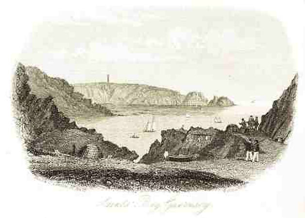
In the mid to late nineteenth century a London printing house, Rock & Co., published a series of guide books, which they called ‘Topographical Vignettes’, of locations within the British Isles including Guernsey. The ten drawing below were made in 1858/9.
Historical Images of Guernsey 2: Text
Castle Cornet from Glategny 1859

Historical Images of Guernsey 2: Image
Fermain Bay 1858

Historical Images of Guernsey 2: Image
View from Jerbourg 1858

Historical Images of Guernsey 2: Image
Moulin Huet Bay 1858

Historical Images of Guernsey 2: Image
Saints Bay & Jerbourg 1858

Historical Images of Guernsey 2: Image
Petit Bot 1858

Historical Images of Guernsey 2: Image
Pleinmont 1858

Historical Images of Guernsey 2: Image
Fort Pezeries, Rocquaine Bay & Fort Grey 1858

Historical Images of Guernsey 2: Image
St Martin’s Church 1858

Historical Images of Guernsey 2: Image
Vale Church 1858

Historical Images of Guernsey 2: Image
bottom of page


